| Bob Segal Weather Site | |||
|---|---|---|---|
| LAST READING AT TIME: 11:55 AM DATE: July 17 2026 | |||
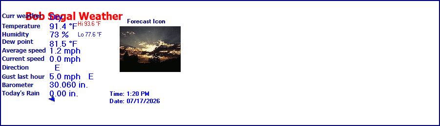
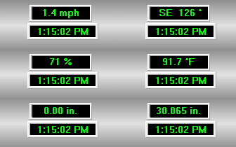
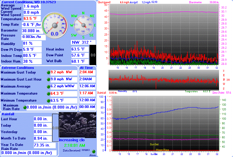
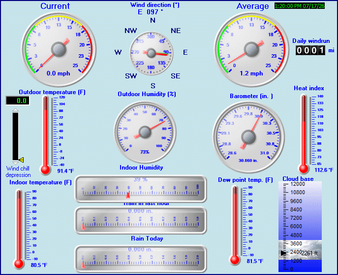
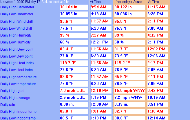
| Current Weather | Dry | Current Temperature | 93.1°F (33.9°C) (Heat Index 118.5°F ), Apparent temp 104.6°F |
| Maximum Temperature (since midnight) | 93.1°F at: 11:54 AM | Minimum Temperature (since midnight) | 77.6°F at: 6:20 AM |
| Average windspeed (ten minute) | 0.1 mph | Wind Direction (ten minute) | ESE (108°) |
| Heat Index | 118.5°F | Maximum Gust (last hour) | 3.0 mph at: 11:03 AM |
| Maximum Gust (since midnight) | 4.0 mph at: 10:36 AM | Maximum 1 minute average (since midnight) | 2.2 mph at: 10:20 AM |
| Rainfall (last hour) | 0.00 in. (0.0 mm) | Rainfall (since midnight) | 0.00 in. (0.0 mm) --- |
| Rainfall This month | 9.20 in. (233.7 mm) | Rainfall To date this year | 26.92 in. (683.8 mm) |
| Maximum rain per minute (last hour) | 0.00 in/min | Maximum rain per hour (last 6 hours) | 0.00 in/hour |
| Yesterdays rainfall | 0.39 in | DewPoint | 83.2°F (Wet Bulb :85.7°F ) |
| Humidity | 73 %, Humidex 122.7°F | Barometer corrected to msl | 30.094 in. (1019.1 hPa) |
| Pressure change | -0.00 in. (last hour) | Trend (last hour) | STEADY |
| Pressure change (last 12 hours) | +0.02 in | Pressure change (last 6 hours) | +0.02 in |
| Current Indoor Temp. 80.6°F | |||
| Current Indoor Hum. 40% | |||





Use the RELOAD facility on your browser to retrieve the latest data.